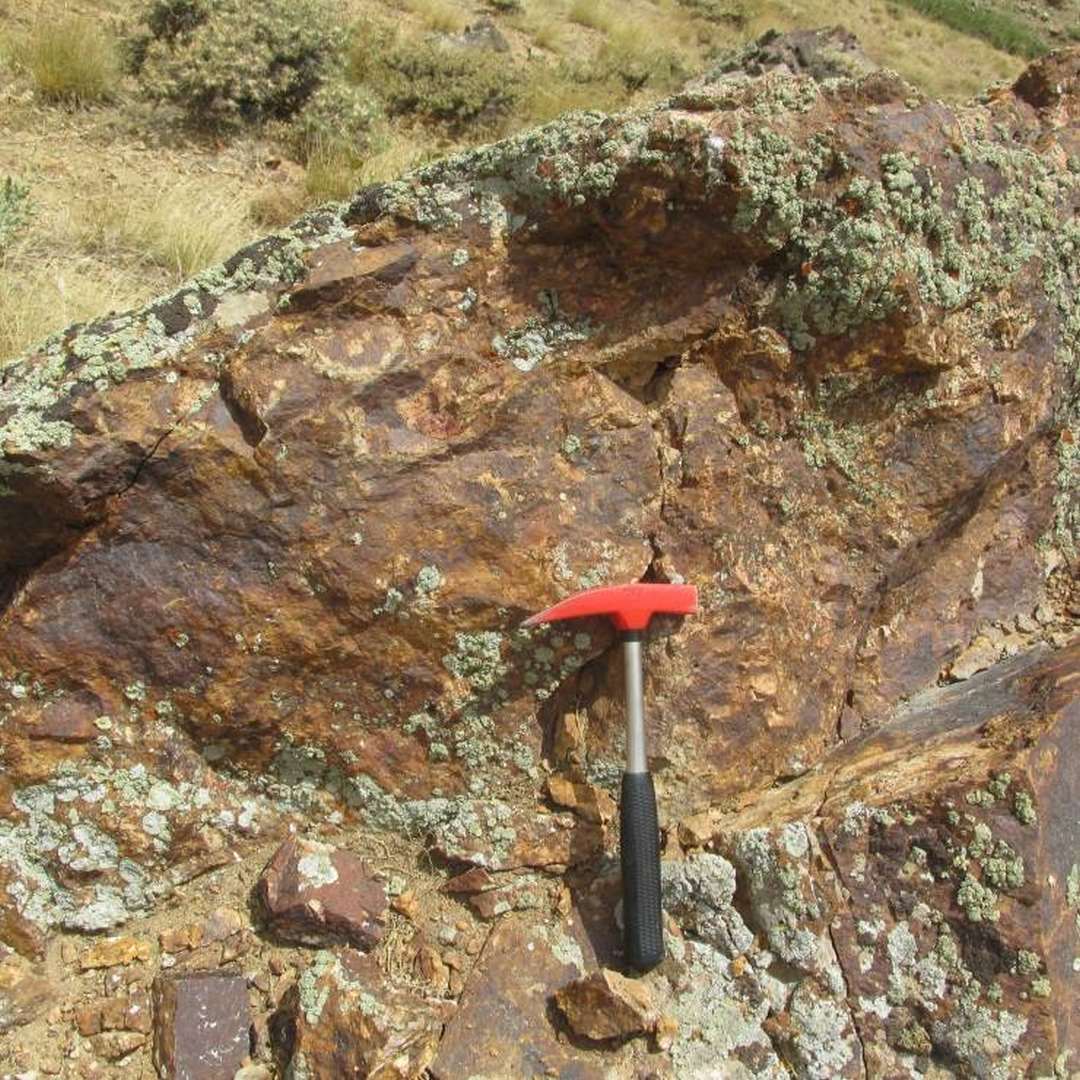
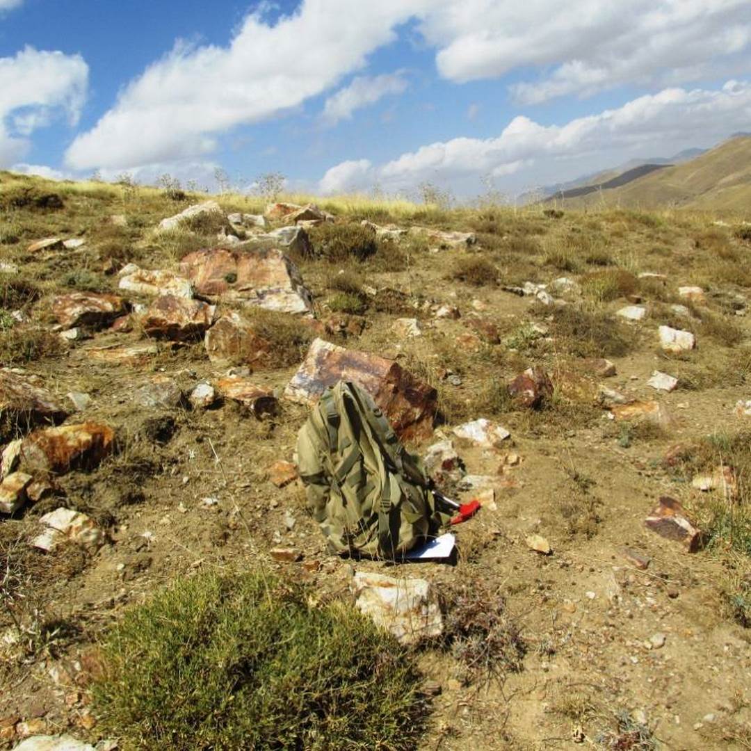
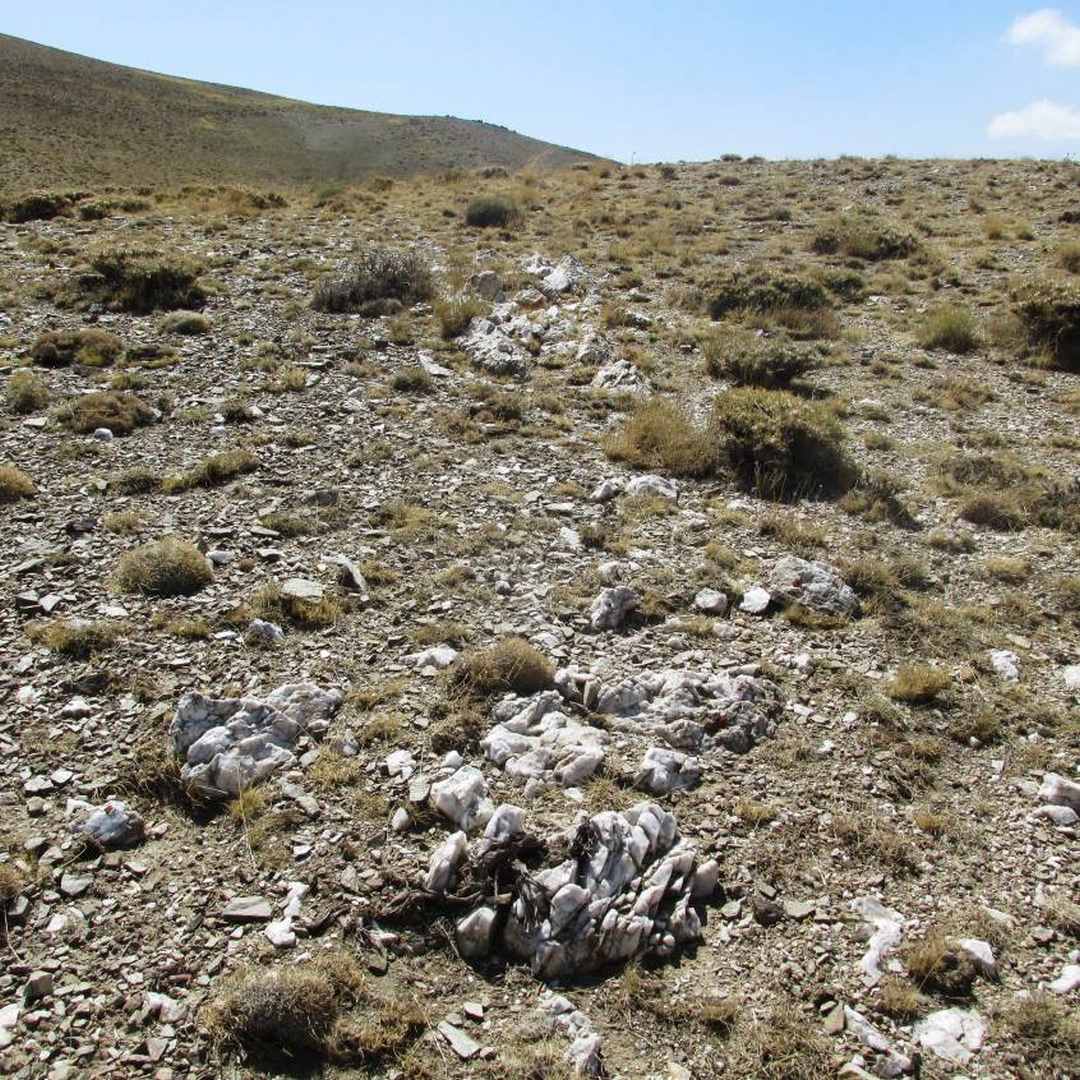
The area under study is situated in the southern part of the 1:250000 geological map of Takab, within the West Azarbaijan province. This region is characterized by mountainous terrain, with the northern and east-northern sections exhibiting a more rugged topography due to the presence of metamorphic and intrusive rocks. Other parts of the area have a gentler morphology, with geological formations including dolomite limestone, Precambrian crystalized dolomite (Jango Taran limestone), mica-schist, quartzite alteration, Miocene clay conglomerate unit, travertine, and alluvial sediments. In the northern part of the region, there are scattered siliceous veins impregnated with iron oxides within Precambrian schist metamorphic rocks, near the micro-gabbro mass. These silica-hematite veins, potentially containing gold, display dark weathered surfaces and brown fracture surfaces. The faults in this region predominantly trend in a northwest-southeast direction, with some showing a northeast-southwest orientation, resulting in movement and displacement of Precambrian metamorphic rocks. Field surveys were conducted to systematically analyze joints at various stations, revealing that the fractures have an impact ranging from 1.0 to 3 meters. The joints in the region typically feature smooth surfaces and are irregularly spaced between 1 and several tens of meters.