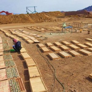
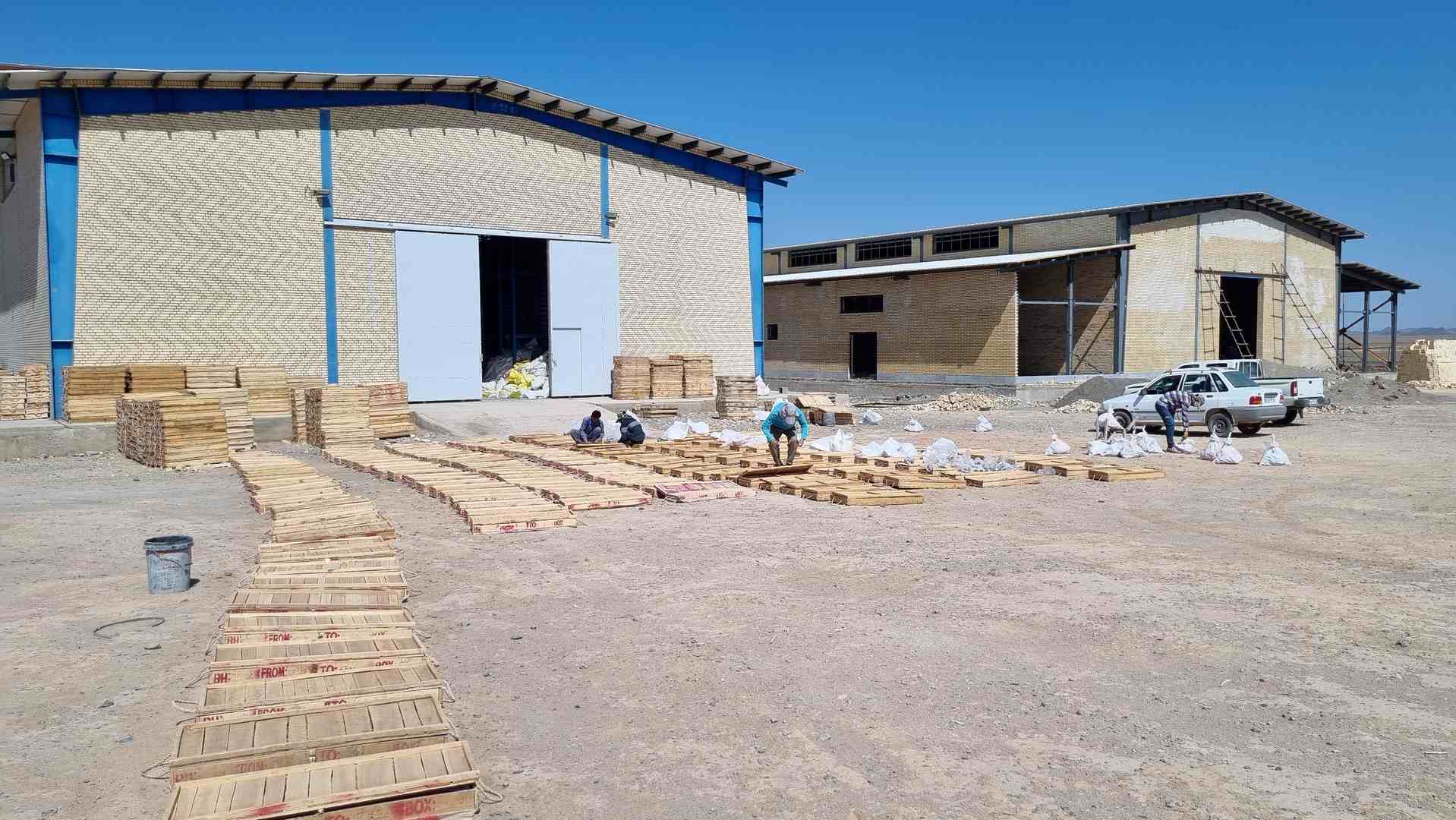
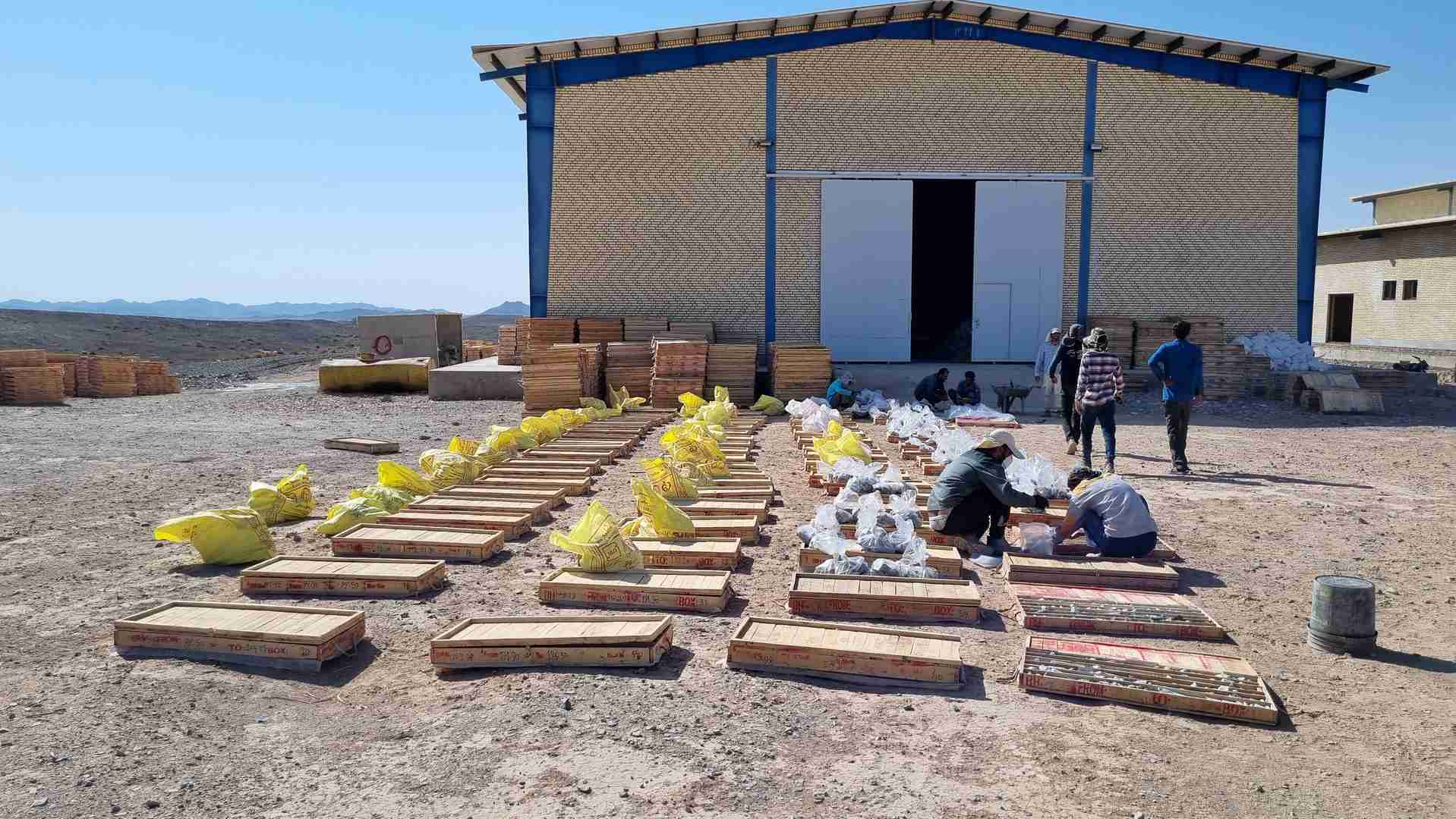
In execution of paragraphs no. 1 and no. 2 2 for description of services of the contract under no. 22808/98 dated July 20, 2024, titled “Provision of prospecting, identification, general, and detailed exploration services for 11 exploratory areas,” the collection, validation, review, and integration of information related to the exploratory areas were conducted. Following a thorough review, evaluation, and validation of data concerning the eleven exploratory areas, namely Hirad, Bisheh, South Bisheh, Doroh, Abgarm, northeast Hirad, Gudkan, Estand, Heidarabad, Deh-e-Salam, and Khunik, they were successfully identified.
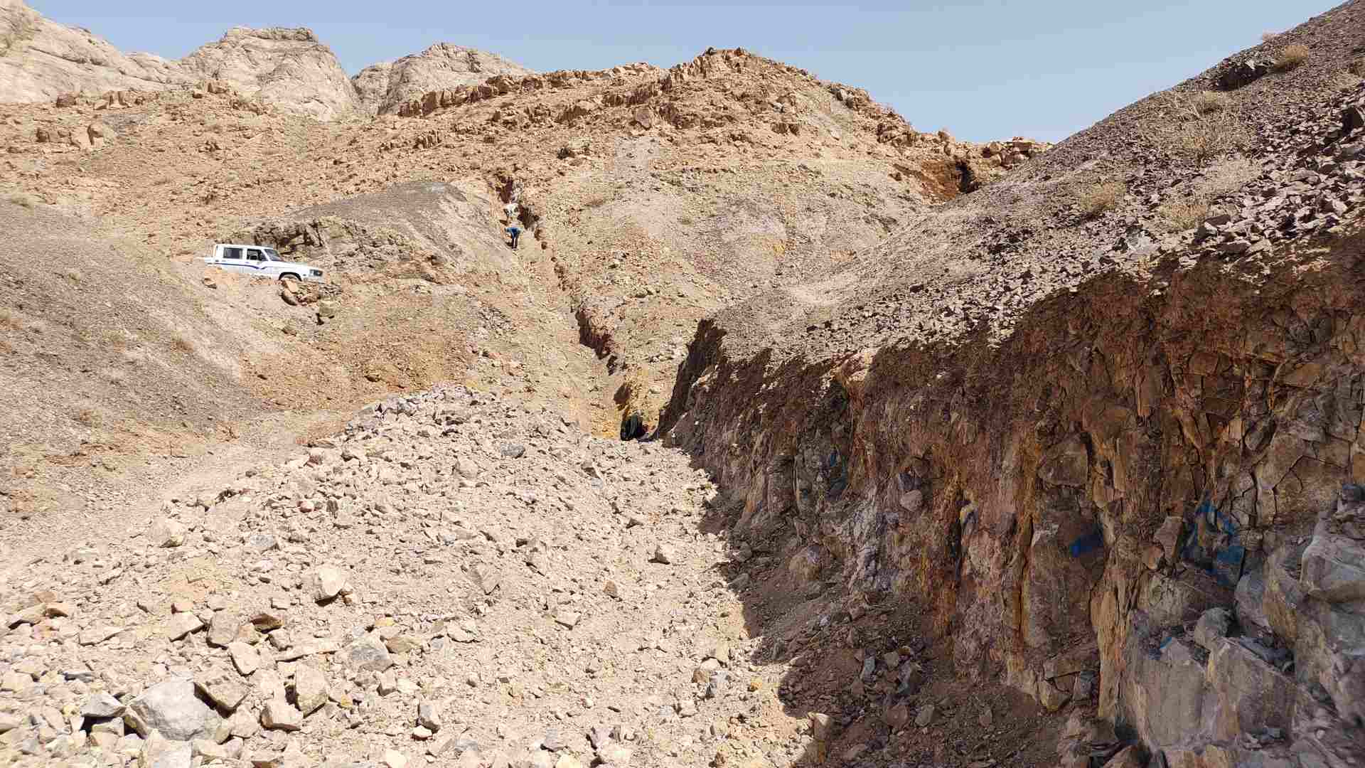
The areas designated for exploration are situated in the south of Birjand city and near Hird village in Khosuf city, within South Khorasan province. Geographically, these areas fall under the Lut zone within the structural zones of Iran. They are depicted on the 1:250,000 geological maps of Deh Salam and the 1:100,000 Basiran. Geologically, the region is known to contain a variety of rock formations dating back to the Eocene and Oligocene eras, as well as intrusive masses from the post-Eocene era. Additionally, sedimentary rock formations including shale, marl, sandstone, limestone from the Jurassic and Cretaceous periods, and Paleocene and Eocene limestone conglomerates are present in the area based on the findings of geological studies conducted in the region.
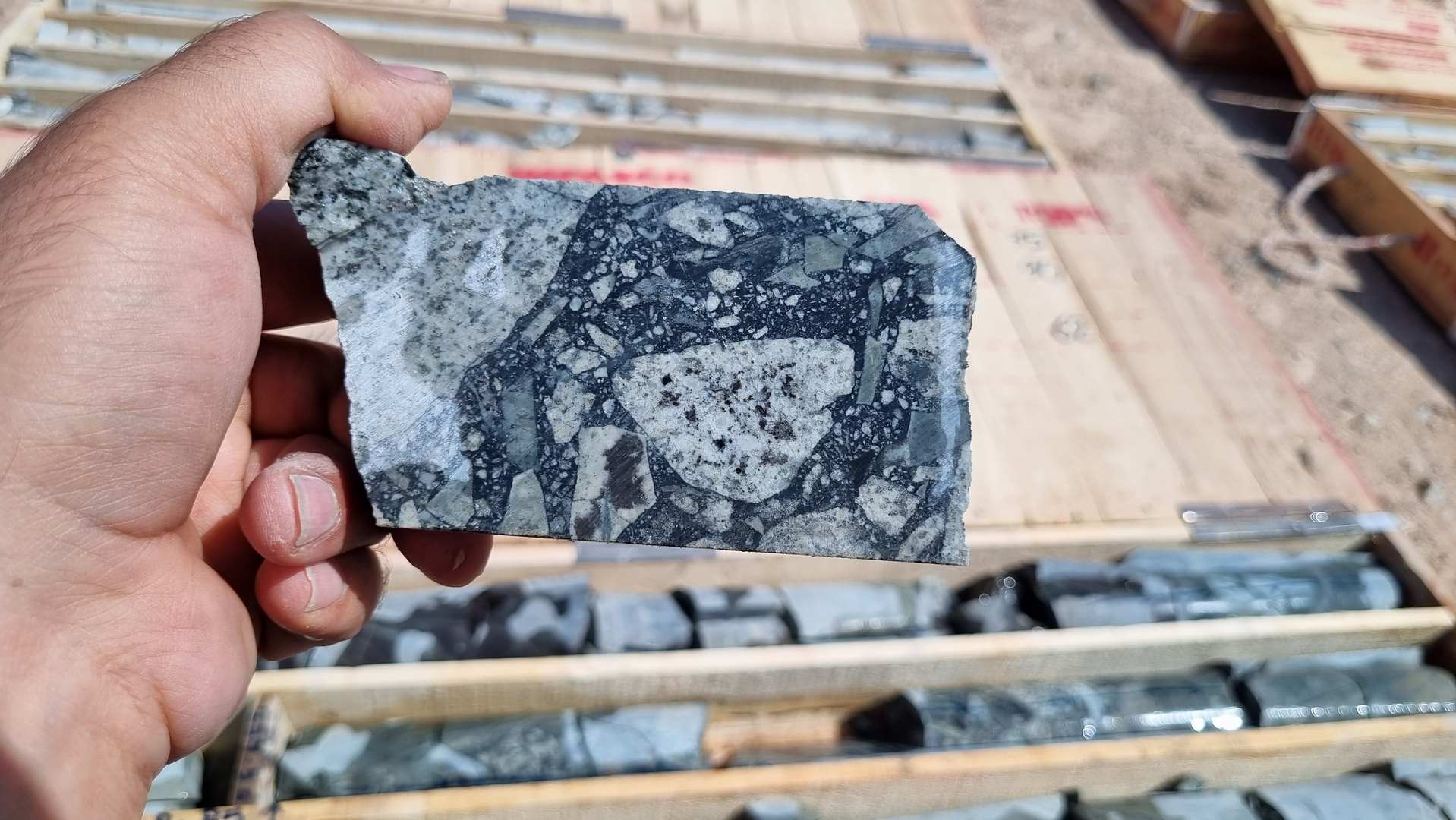
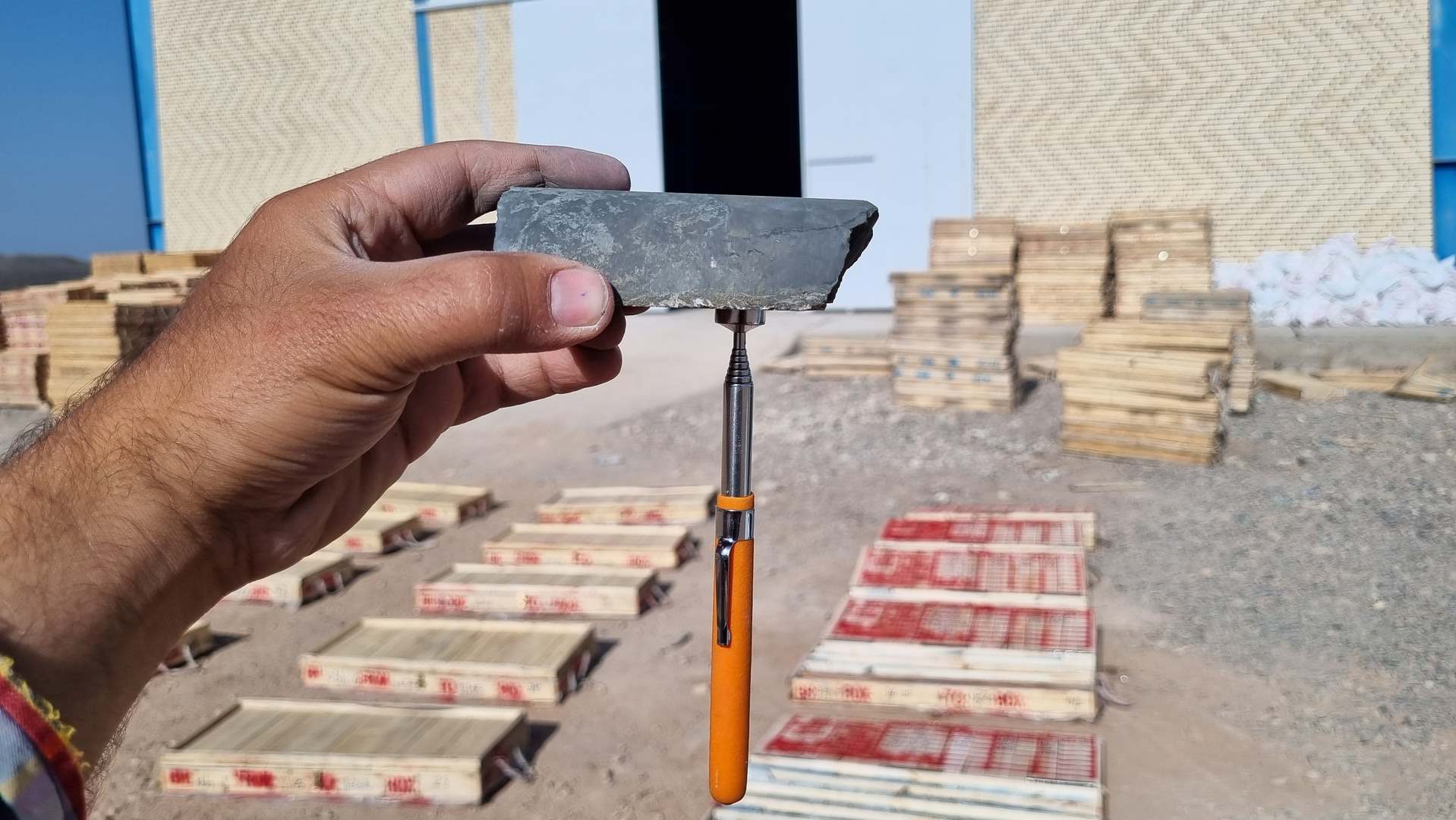
The impacts of hematite-argillic alteration are evident in the fractures of zones and fault structures associated with the intrusion of plutonic masses as a result of the establishment of the hydrothermal fluid cycle mechanism. Additionally, the intrusion of plutonic masses into volcanic and volcanoclastic units, accompanied by hydrothermal solutions, has led to metasomatism in the host rocks. This has resulted in gold mineralization within both plutonic and volcanic units, characterized by scattered grains and streaks of metal sulfides such as chalcopyrite, arsenopyrite, and pyrite.s