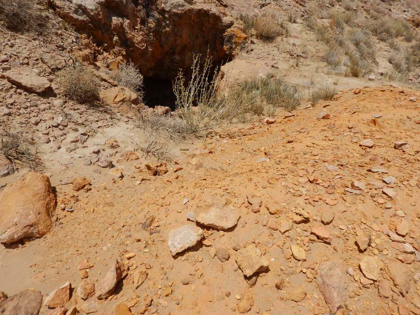
The Negin exploratory area is located in the sedimentary–structural zone of Central Iran and within the easternmost block related to the subcontinent of Central Iran, known as Yazd Block. The geological units exposed in this area range from the Early Cretaceous to the Paleocene, with sedimentary or structural discontinuities present in some portions of the stratigraphic sequence. Additionally, the Negin Area is influenced by significant tectonic structures in Iran, including the Doruneh fault and Biabanak fault. During the Cretaceous period, the initial generation of folds and faults in the area trended in a northwest-southeast direction. A second generation of folds and faults emerged later in a northwest-southeast to east-west orientation, leading to interference with the structures of the first generation. This second generation of structures is believed to have formed under the pressure of the northwest-southeast trend during the Early Paleogene period, likely as a result of the Laramide orogeny.
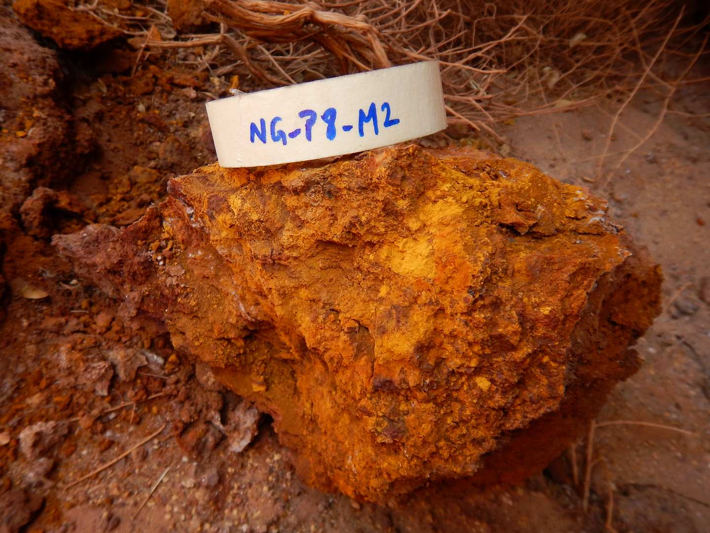
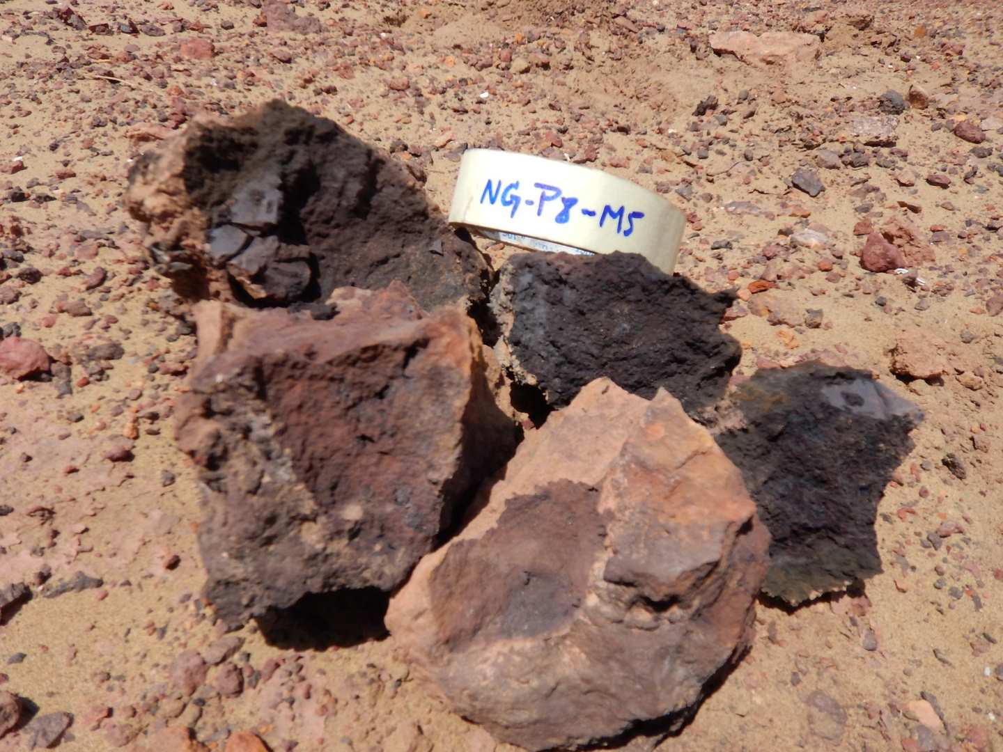
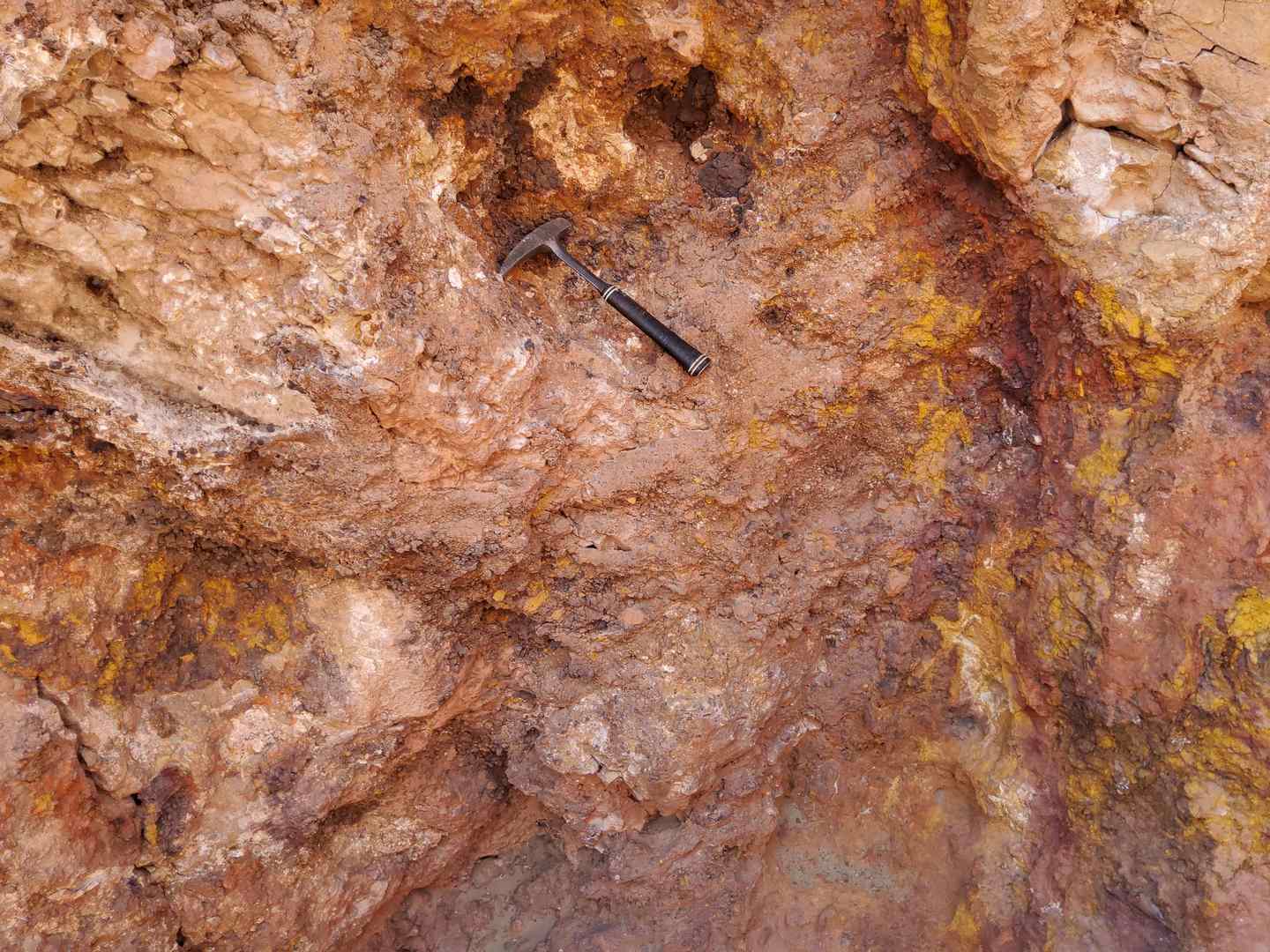
According to prevailing research, the mineralization found in the Negin area is indicative of a probable MVT type. The principal ores present in this deposit include sphalerite, galena, pyrite, marcasite, dolomite, and calcite. Predominant alteration in this type of deposit manifests as dolomitization, accompanied by shearing and dissolution of the host carbonates. Faults and fractures act as primary conduits for mineralization, typically influenced by destructive shears and lithological transitions, with sulfides commonly substituting carbonate rocks. Weathering processes in these deposits may lead to the formation of zinc carbonates and silicates within the weathered and oxidated zones.